H-TT19
GEOSCIENTIFIC APPLICATIONS OF HIGH-DEFINITION TOPOGRAPHY AND GEOPHYSICAL MEASUREMENTS
Program
May 23 (Tue), 2017
Orals (1) PM1: 13:45–15:15 @Rm. 103 (1F)
Orals (2) PM2: 15:30–17:00 @Rm. 103 (1F)
Posters (1): AM2: 10:45–12:15 @Poster hall
Posters (2): PM3: 17:15–18:30 @Poster hall
oral session talk list
- 1:50 PM - 2:05 PM [HTT19-01] Accurate volumetric measurement of tsunami boulders using 3D point clouds (Hayakawa et al.)
- 2:05 PM - 2:25 PM [HTT19-02] Quantitative analysis of bedrock weathering at Soya Coast, East Antarctica using the UAV-SfM (Kawamata et al.)
- 2:25 PM - 2:45 PM [HTT19-03] Relationships between coastal sand dune vegetation and landforms: A preliminary analysis using TLS and UAV-SfM photogrammetry in Tottori Sand Dunes (Nakata et al.)
- 2:45 PM - 3:00 PM [HTT19-04] Time series analysis of TLS-derived point clouds for shallow landslides in Aso region, Kumamoto, Japan (Haneda et al.)
- 3:00 PM - 3:15 PM [HTT19-05] Quantitative assessment of tree trunk inclination and topographic conditions using multi-temporal point cloud data in a hilly catchment (Ebina et al.)
- 3:30 PM - 3:45 PM [HTT19-06] Verification and Possibility on the Operation of Gravel Bed River Measurement using UAV and SfM-MVS (Ogura et al.)
- 3:45 PM - 4:00 PM [HTT19-07] Application of Structure-from-Motion Multi-View-Stereo Photogrammetry to the extraction of vertical deformation caused by an inflated magma chamber in an analogue experiment (Takeuchi et al.)
- 4:00 PM - 4:20 PM [HTT19-08] 3D modeling of a damaged Sabo dam with a combination of a DSM and near-surface geophysical survey data (Inazaki et al.)
Session summary
session details: http://www.jpgu.org/meeting_2017/session_list/detail/H-TT19.html
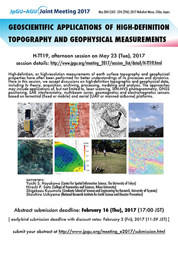
High-definition, or high-resolution measurements of earth surface topography and geophysical properties have often been performed for better understandings of its processes and dynamics. Here in this session, we accept discussions on high-definition topographic and geophysical data, including its theory, acquisition, archiving, processing, modeling and analysis. The approaches may include applications of, but not limited to, laser scanning, SfM-MVS photogrammetry, GNSS positioning, SAR interferometry, multi-beam sonar, geomagnetics and electromagnetics sensors based on terrestrial (fixed or mobile) and aerial (UAV or manned airborne) platforms.
conveners:
Yuichi S. Hayakawa (Center for Spatial Information Science, The University of Tokyo)
Hiroshi P. Sato (College of Humanities and Sciences, Nihon University)
Shigekazu Kusumoto (Graduate School of Science and Engineering for Research, University of Toyama)
Shoichiro Uchiyama (National Research Institute for Earth Science and Disaster Prevention)
[ HD-Topography home ]
