[ flyer pdf ]
May 22, 2016
AM1: 9:00-10:30 @Rm. 202 (2F)
AM2: 10:45-12:00 @Rm. 202 (2F)
Posters: 17:15-18:30 @Poster hall
8 talks, 13 posters were presented. Thanks a lot for participation!!
joint session with AGU and EGU
session details: http://www.jpgu.org/meeting_e2016/session_list/detail/H-TT08.html
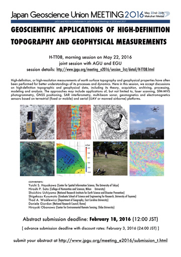
High-definition, or high-resolution measurements of earth surface topography and geophysical properties have often been performed for better understandings of its processes and dynamics. Here in this session, we accept discussions on high-definition topographic and geophysical data, including its theory, acquisition, archiving, processing, modeling and analysis. The approaches may include applications of, but not limited to, laser scanning, SfM-MVS photogrammetry, GNSS positioning, SAR interferometry, multi-beam sonar, geomagnetics and electromagnetics sensors based on terrestrial (fixed or mobile) and aerial (UAV or manned airborne) platforms.
conveners:
Yuichi S. Hayakawa (Center for Spatial Information Science, The University of Tokyo)
Hiroshi P. Sato (College of Humanities and Sciences, Nihon University)
Shoichiro Uchiyama (National Research Institute for Earth Science and Disaster Prevention)
Shigekazu Kusumoto (Graduate School of Science and Engineering for Research, University of Toyama)
Thad A. Wasklewicz (Department of Geography, East Carolina University)
Daniele Giordan (National Research Council, Rome)
Hiroyuki Obanawa (Center for Environmental Remote Sensing, Chiba University)