[ flyer pdf ]
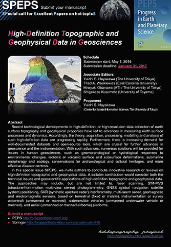
Recent technological developments in high-definition, or high-resolution data collection of earth surface topography and geophysical properties have led to advances in measuring earth surface processes and dynamics. Accordingly, the theory, acquisition, processing, modeling and analysis of such high-definition data are progressing rapidly. Furthermore, there is increasing demand for well-documented datasets and open-source tools, which are crucial for further advances in geoscience and the instrumentation. With such advances, numerous solutions will be provided for issues in human geosciences, such as geomorphological or hydrological responses to environmental changes, tectonic or volcanic surface and subsurface deformations, submarine morphology and ecology, conservations for archaeological and cultural heritages, and more effective disaster controls.
In this special issue SPEPS, we invite authors to contribute innovative research or reviews on high-definition topographic and geophysical data. A suitable contribution would consider both the technical issues and geoscientific applications of high-definition topographic and geophysical data. The approaches may include, but are not limited to, laser scanning, SfM-MVS (structure-from-motion multi-view stereo) photogrammetry, GNSS (global navigation satellite system) positioning, SAR (synthetic aperture radar) interferometry, multi-beam sonar, geomagnetic and electromagnetic sensors, based on terrestrial (fixed or mobile), instrumentation or survey watercraft (unmanned or manned), submersible vehicles (unmanned underwater vehicle or manned), and aerial (unmanned or manned airborne) platforms.
Submission start: May 1, 2016
Submission deadline: November 30, 2016
New submission deadline: January 31, 2017
Yuichi S. Hayakawa (The University of Tokyo)
Thad A. Wasklewicz (East Carolina University)
Hiroyuki Obanawa (VTI / The University of Tokyo)
Shigekazu Kusumoto (University of Toyama)
Yuichi S. Hayakawa (Center for Spatial Information Science, The University of Tokyo)